+962 7 9635 8199
[email protected]

Petra is bigger than its most famous façade. Start with the shape of the walk, understand where the climbs begin, and give the journey back as much thought as the way in.
This Petra Jordan map guide connects the main landmarks, explains the Monastery extension and helps you choose an offline map. Use it to plan a day that fits your pace, rather than trying to collect every viewpoint.

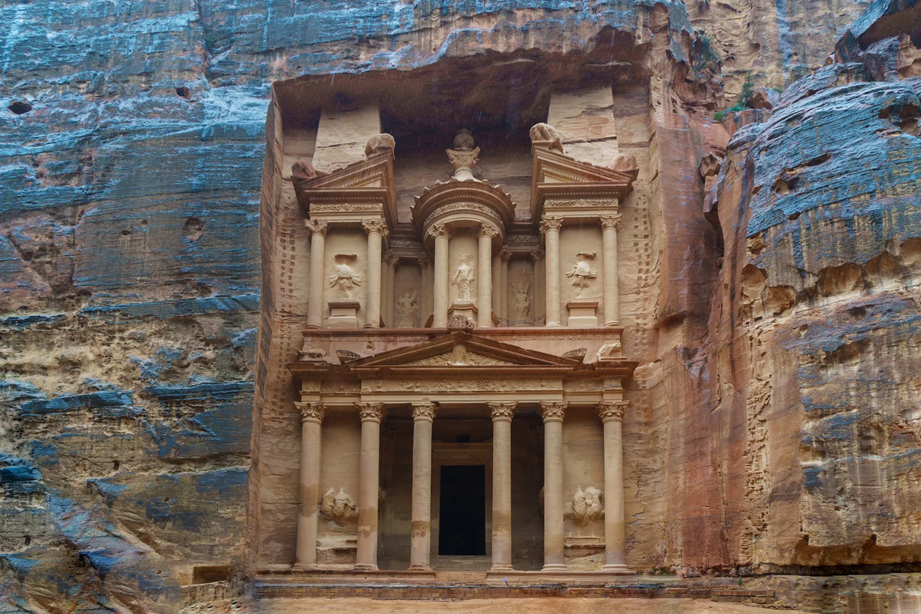
For a first visit, think of the standard approach as a sequence: Visitor Centre, Siq, Treasury, Theatre area, Colonnaded Street, then Qasr al-Bint. The Treasury is a landmark along the way, not the end of the whole archaeological park.
Original orientation schematic: landmark sequence only, not to scale or compass-aligned. It shows no GPS position, open-trail status or navigable shortcuts. The Royal Tombs, Church and other side visits are not plotted. Use the official map and instructions on site for navigation.
PDTRA lists the Main Trail from the Visitor Centre to Qasr al-Bint as 3.9 km, with a non-stop walking estimate. Retracing it gives a baseline of about 7.8 km before side visits. That arithmetic is useful; treating the published walking time as a complete sightseeing timetable is not.
Add your own allowance for photographs, rest, refreshments and the walk out. Official Main Trail details ↗
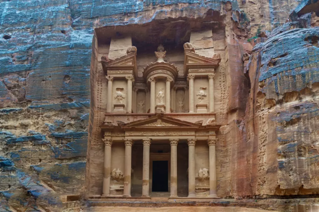
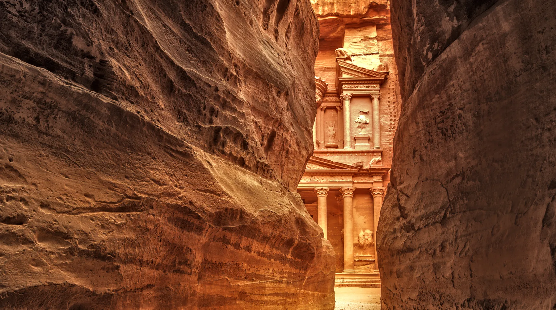
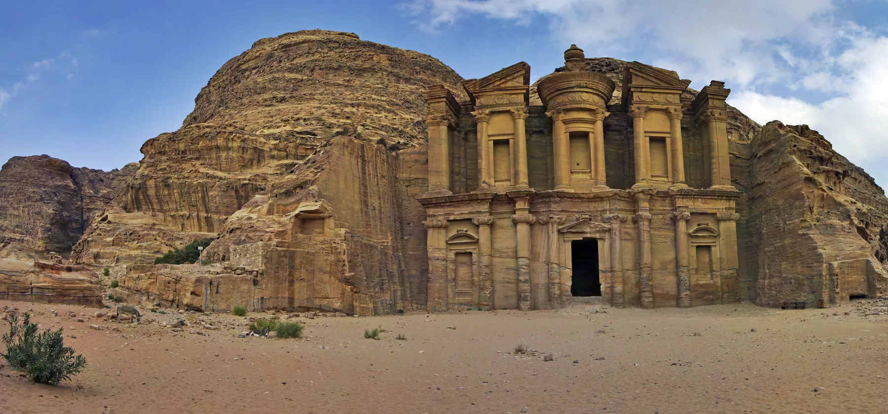
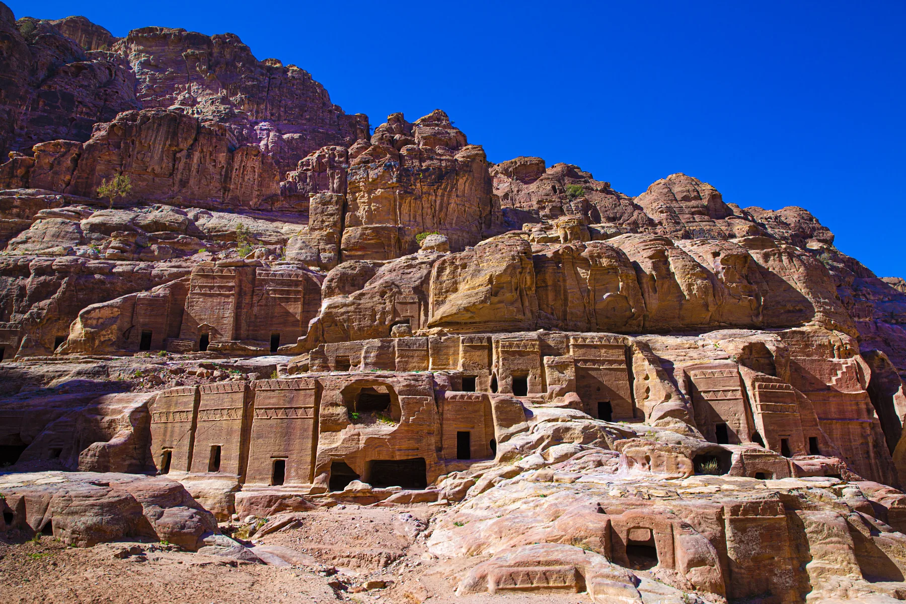
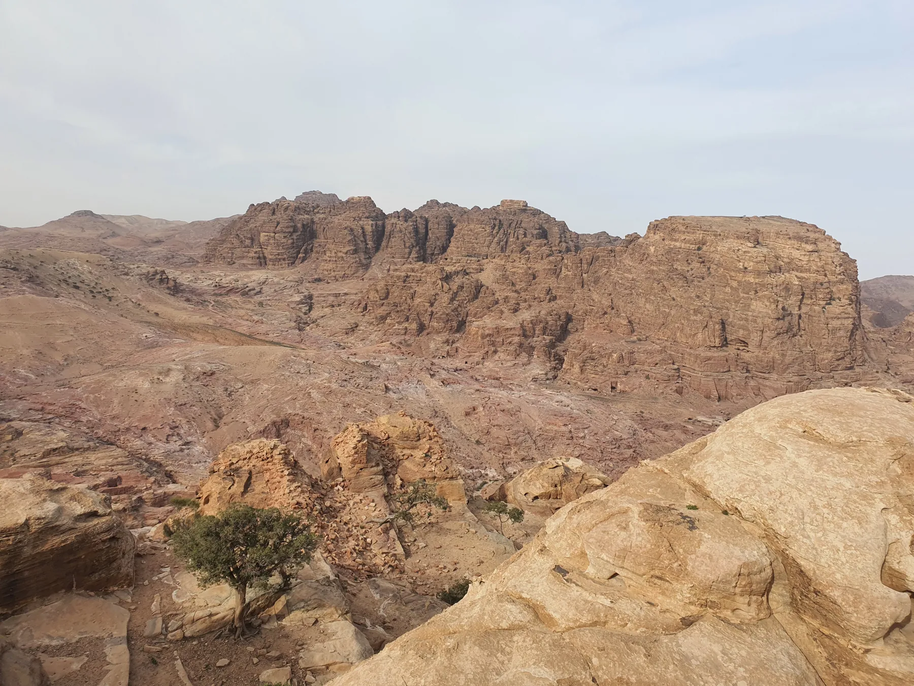
These six photographs introduce the setting. The Street of Façades photograph shows rock-cut tombs; it is not labelled as the Royal Tombs. The landscape and interior views are contextual images, not marked viewpoints or route instructions.
A map is most helpful when it is ready before you reach the canyon. Keep an official reference on your phone, and decide how you will check the route if the connection drops or the battery runs low.
The official offline page explains ArcGIS Earth and provides separate map-data downloads. This guide does not install an app or download those packages automatically.
Follow PDTRA’s instructions for the app and the map-data file. An installed app alone does not mean the Petra data is stored on your phone.
While still connected, load the saved file and locate the Visitor Centre and Treasury. Then test that the map remains available offline. Check the app’s location permissions if you want position features.
Ask at the Visitor Centre for available paper maps and current route advice. A screenshot of a simple route can help you remember the plan, but it is not a substitute for detailed navigation.
The strongest plan has a clear priority and a sensible stopping point. These are different route choices, not three items that every visitor needs to complete.
Choose the classic Visitor Centre approach for the gradual reveal of the Treasury and the ancient city beyond. Review the return walk before adding side climbs. A shorter visit can have the Treasury as its chosen turnaround, rather than treating Qasr al-Bint as compulsory.
Ad-Deir is reached by a separate climb from the Qasr al-Bint area. PDTRA describes roughly 800 steps. Its page gives 2 km in the trail summary and about 1.6 km in the text, so this guide does not promise a single precise distance. Leave time for both ascent and descent.
The official Back Trail runs from Siq al-Barid, or Little Petra, to Ad-Deir. It is a separate approach, with its own terrain and logistics. Confirm current access, guiding, ticket checks and transport arrangements before choosing it. It should not be assumed to remove all walking or steps.
Viewpoints need a separate decision. A photograph taken above the Treasury does not prove the route is public, open or suitable for your group. Ask the Visitor Centre which paths are authorised and whether a licensed guide is required. Stay on approved routes and respect closures.
Choose the time you want to be back at the Visitor Centre, then work backwards through rests, the return route and any extension. Your latest possible arrival at a monument is rarely the best time to aim for it.
For 2 October 2026–1 March 2027, PDTRA currently lists the site and Visitor Centre at 06:30–17:00. Check the dated official hours again before your visit; operating notices can change.
A few questions worth settling
Ask about the full route, including uneven surfaces and steps. A vehicle service on part of the route does not establish accessibility throughout Petra.
Tell us your travel dates, where you are staying and the places you most want to see. Mention walking or access needs early so that the conversation starts with a realistic route.
The route board is an original simplified orientation aid, not official cartography. Confirm access, hours and services directly before travelling. This preview makes no promise of live trail availability.